


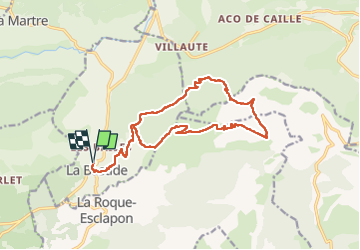
Le Lachens 2024

ETMU5496
User

Length
18.8 km

Max alt
1678 m

Uphill gradient
1212 m
Km-Effort
35 km

Min alt
972 m

Downhill gradient
1212 m
Boucle
Yes
Creation date :
2024-04-01 06:26:32.0
Updated on :
2024-04-02 14:39:16.768
7h56
Difficulty : Difficult

FREE GPS app for hiking
 SityTrail
IGN / Geographical institutes
SityTrail Plus
The world is yours!
About
Trail Walking of 18.8 km to be discovered at Provence-Alpes-Côte d'Azur, Var, La Bastide. This trail is proposed by ETMU5496.
Description
Le Lachens sommet et tour
fait avril 2024
IBP 128
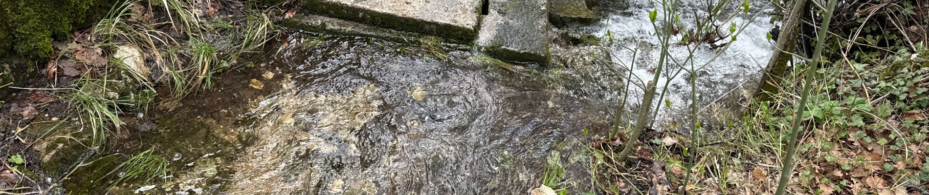
Photos


24 photos in total. Please click on a photo to see them all in the gallery.
Positioning
Country:
France
Region :
Provence-Alpes-Côte d'Azur
Department/Province :
Var
Municipality :
La Bastide
Location:
Unknown
Start:(Dec)
Start:(UTM)
308733 ; 4845303 (32T) N.
Comments